Land Survey and Topographic Survey
Land Survey and Topographic Survey

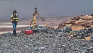
Ground and topographic survey works are carried out to measure the features and levels of the surface of the project site for various purposes such as urban and regional planning, design of road projects and utility lines, and calculations of quantities. Topographic survey usually documents the existing condition of the Earth’s surface and details of boundaries or structures and then it is drawn into maps of various sizes, scales, and formats according to the purpose for which the maps are used.
With our professional and dedicated team of Surveyors, Draftsmen, Survey Technicians we offer a range of small and large scale survey services such as (Deed re-establishment surveys, Urban development subdivision survey, Topographic surveys, Earthwork volume surveys, GPS & geodetic surveys, Existing conditions surveys, Construction surveys & set out, Civil engineering surveys, Feature & level surveys)
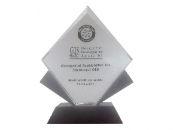
GTT prizes
GEOGRAPHIC TECHNOLOGIES TRADING
Geospatial DEVELOPMENT Awards
"Geospatial DEVELOPMENT Awards"
“Geospatial DEVELOPMENT Awards” in Geospatial Application for Municipal GIS from GIS DEVELOPMENT in the Middle East.
© 2020 DESIGN AND DEVOLPED BY KIAN
© 2020 all right reserved to GEOGRAPHIC TECHNOLOGIES TRADING


