3D Drone Mapping for Holy Makkah City Boundary
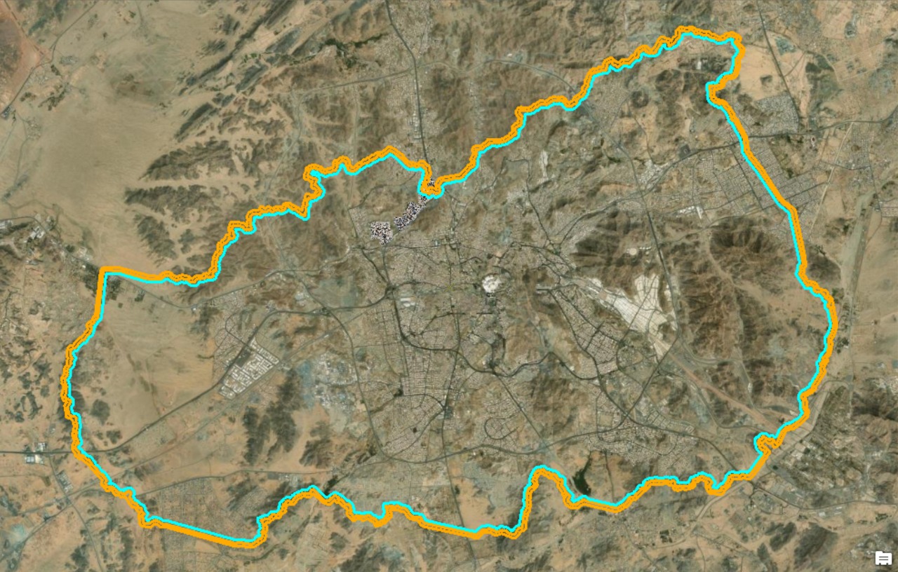
3D Drone Mapping for Holy Makkah City Boundary
The project included the implementation of the following work tasks:
The Project total area (62.25 SQKM)
The total bath of the boundary (180 km long)
1- Generate a True Orthomosaic with a 2cm GSD
2- Generate a high resolution Point cloud
3- Generate a DSM 2cm accuracy
4- Generate a DTM 10cm accuracy
5- Generate a contour map 1m interval.
6- Film production of a full boundary bath 4K.
LOCATION
The Royal Commission for the Holy City of Makkah and the Holy Sites - Makkah
TYPE
Drone Mapping
Year
2022
Project Status
Completed
Equipment used to perform the service


GTT Partners
GEOGRAPHIC TECHNOLOGIES TRADING
This is what we’ve been working on

GTT prizes
GEOGRAPHIC TECHNOLOGIES TRADING
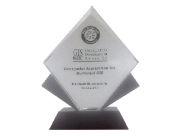
Geospatial DEVELOPMENT Awards
"Geospatial DEVELOPMENT Awards"
“Geospatial DEVELOPMENT Awards” in Geospatial Application for Municipal GIS from GIS DEVELOPMENT in the Middle East.
Phones
+966 55 304 8855
+966 50 995 1522
+966 55 099 9551
Email : info@gtt.com.sa
© 2020 DESIGN AND DEVOLPED BY KIAN
© 2020 all right reserved to GEOGRAPHIC TECHNOLOGIES TRADING