Updating land use maps of kingdom coastal areas & building GIS database – 1st phase project
Updating land use maps of kingdom coastal areas & building GIS database – 1st phase project
The project aims to collect and update the land use status for all of the Kingdom’s coast line based on the ortho-rectified satellite imageries and build a basemap of the coastal land use
LOCATION
Riyadh
TYPE
DATA INFRASTUCTURE
Year
2000
Project Status
Completed


GTT Partners
GEOGRAPHIC TECHNOLOGIES TRADING
This is what we’ve been working on

GTT prizes
GEOGRAPHIC TECHNOLOGIES TRADING
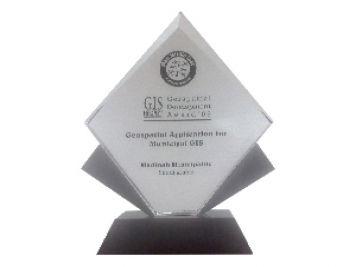
Geospatial DEVELOPMENT Awards
"Geospatial DEVELOPMENT Awards"
“Geospatial DEVELOPMENT Awards” in Geospatial Application for Municipal GIS from GIS DEVELOPMENT in the Middle East.
Phones
+966 55 304 8855
+966 50 995 1522
+966 55 099 9551
Email : info@gtt.com.sa
© 2020 DESIGN AND DEVOLPED BY KIAN
© 2020 all right reserved to GEOGRAPHIC TECHNOLOGIES TRADING