


العنوان
8828 شارع الربيع بن حبيب البصري – حي وادي مذينب ، المدينة المنورة 42381 – 2787 المملكة العربية السعودية

يهدف المشروع لجمع بيانات الأنشطة العامة والخاصة على جميع سواحل المملكة وبناء قاعدة بيانات الأنشطة للسواحل وإسقاطها على خارطة الأساس
السعودية
بنية التحتية
2001
Completed
نعتز بثقتكم
شركاء لنا في النجاح والعطاء

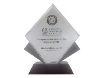
جوائز التنمية الجغرافية المكانية
“جوائز التطوير الجغرافي المكاني” في التطبيق الجغرافي المكاني لنظم المعلومات الجغرافية البلدية من تطوير نظم المعلومات الجغرافية في الشرق الأوسط.
8828 شارع الربيع بن حبيب البصري – حي وادي مذينب ، المدينة المنورة 42381 – 2787 المملكة العربية السعودية
+966 55 304 8855
+966 50 995 1522
+966 55 099 9551
البريد الألكترونى : info@gtt.com.sa
© 2020 تصميم وتطوير كيان
© 2020 جميع الحقوق محفوظة مؤسسة التقنية الجغرافية