Drone Mapping
Drone Mapping
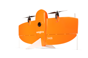
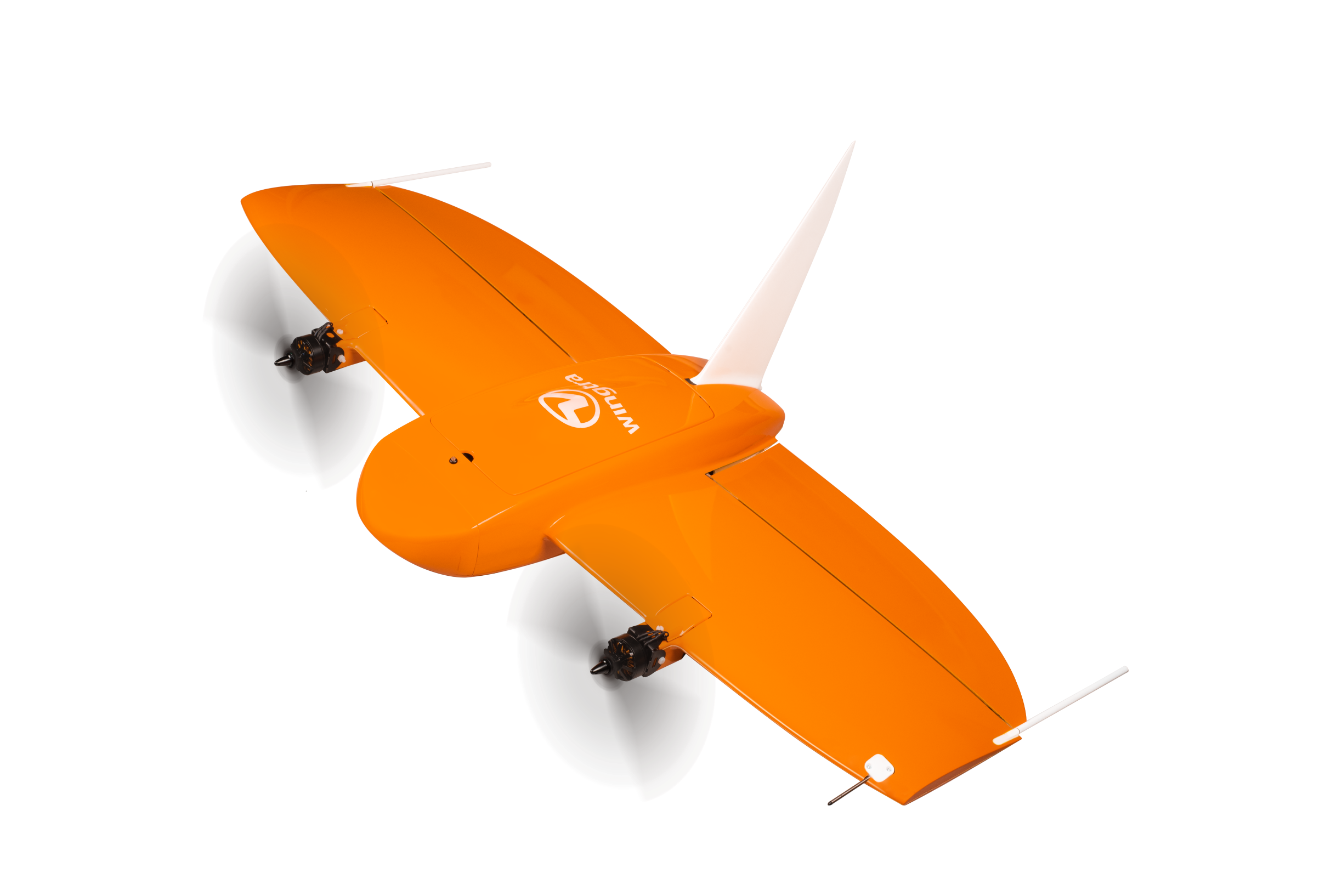
Our certified pilots are able to perform fast aerial surveys across wide or hard-to-reach areas and producing reliable maps with unparalleled resolution and accuracy. using the WingtraOne VTOL system with PPK GNSS L1/L2 receiver or the Trimble UX5 fixed wing system.
WingtraOne QX1 PPK combination guarantees absolute accuracy down to 3 cm (1.2 in) with the largest available coverage at 120 m (400 ft) also it is possible now to reach down to 1 cm (0.4 in) absolute accuracy with WingtraOne aerial survey drone.


GTT Partners
GEOGRAPHIC TECHNOLOGIES TRADING
This is what we’ve been working on

GTT prizes
GEOGRAPHIC TECHNOLOGIES TRADING
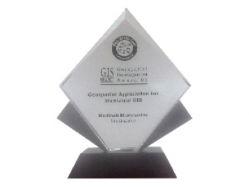
Geospatial DEVELOPMENT Awards
"Geospatial DEVELOPMENT Awards"
“Geospatial DEVELOPMENT Awards” in Geospatial Application for Municipal GIS from GIS DEVELOPMENT in the Middle East.
Phones
+966 55 304 8855
+966 50 995 1522
+966 55 099 9551
Email : info@gtt.com.sa
© 2020 DESIGN AND DEVOLPED BY KIAN
© 2020 all right reserved to GEOGRAPHIC TECHNOLOGIES TRADING