Wingtra
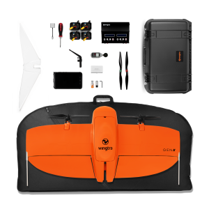
The WingtraOne VTOL mapping drone is capable of performing fast aerial surveys across wide or hard-to-reach areas and producing reliable maps with unparalleled resolution and accuracy.
WingtraOne comes equipped with a choice of Sony high-resolution mapping cameras or a professional multispectral camera by Micasense. Cameras can easily be exchanged in the field, making the same drone suitable for different applications. Using the intuitive flight planning software and the fully autonomous flying operations, surveyors can capture geo-tagged aerial images with virtually no piloting skills.
WingtraOne’s drone image outputs can be processed by all major photogrammetry software to create highly-accurate orthomosaics and 3D models.

PRODUCTS
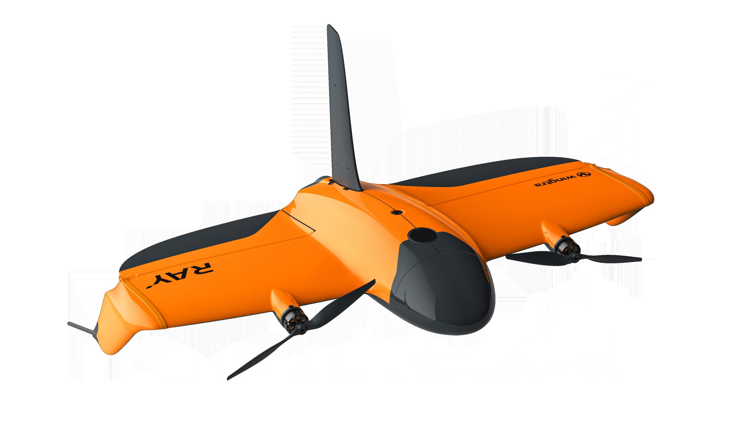
Wingtra Ray
Quote Product


GTT Partners
GEOGRAPHIC TECHNOLOGIES TRADING
This is what we’ve been working on
GTT prizes
GEOGRAPHIC TECHNOLOGIES TRADING
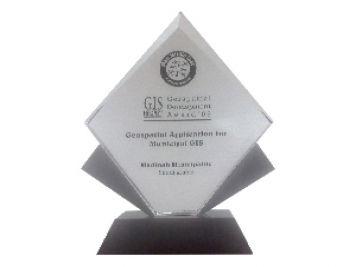
Geospatial DEVELOPMENT Awards
"Geospatial DEVELOPMENT Awards"
“Geospatial DEVELOPMENT Awards” in Geospatial Application for Municipal GIS from GIS DEVELOPMENT in the Middle East.
Phones
+966 55 304 8855
+966 50 995 1522
+966 55 099 9551
Email : info@gtt.com.sa
© 2020 DESIGN AND DEVOLPED BY KIAN
© 2020 all right reserved to GEOGRAPHIC TECHNOLOGIES TRADING