Al Madinah Spatial Data Infrastucture (SDI) at Madinah Development Authority
Al Madinah Spatial Data Infrastucture (SDI) at Madinah Development Authority
The Madinah Spatial Data Infrastructure (MSDI) is a corner stone project, not only for the MDA but rather for the entire Province of Al-Madinah Al-Menowarah. It provides access to consistent spatial datasets shared by all stakeholders. That includes both spatial datasets generated and maintained by MDA, as well as those that comes from various government and private organizations. The project included the following:
• Increase the collaboration between all public and private agencies within Al-Madinah Province relating to the access and use of spatial information.
• Reduce the redundancy in data (maps, satellite images, attributes) produced or obtained by agencies.
• Facilitate the interoperability and reuse of spatial data.
• Reduce the costs associated with the production and acquisition of spatial data across agencies.
• Increase the return of investment of spatial data assets.
The business and technical goals for the MSDI Project can be summarized in the following:
• Provide standardized datasets in support of decision making
• Establish a common georeferencing system for the spatial datasets across for all agencies
• Build easy to use web-based tools for secured access to spatial data
• Support capacity building for MDA and other stakeholders of the Project
• Develop technology infrastructure that complies with MDA IT Strategy
LOCATION
AL MADINAH
TYPE
DATA INFRASTUCTURE
Year
2016
Project Status
Completed


GTT Partners
GEOGRAPHIC TECHNOLOGIES TRADING
This is what we’ve been working on

GTT prizes
GEOGRAPHIC TECHNOLOGIES TRADING
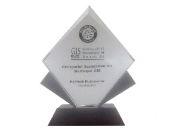
Geospatial DEVELOPMENT Awards
"Geospatial DEVELOPMENT Awards"
“Geospatial DEVELOPMENT Awards” in Geospatial Application for Municipal GIS from GIS DEVELOPMENT in the Middle East.
Phones
+966 55 304 8855
+966 50 995 1522
+966 55 099 9551
Email : info@gtt.com.sa
© 2020 DESIGN AND DEVOLPED BY KIAN
© 2020 all right reserved to GEOGRAPHIC TECHNOLOGIES TRADING