3D Laser Scanning Measurement and Modelling
3D Laser Scanning Measurement and Modelling
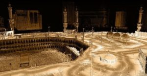

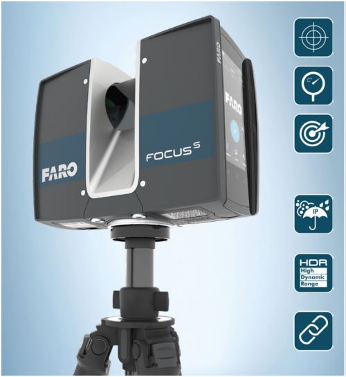
Three-dimensional laser scanning technology using a mobile or fixed laser scanner is one of the latest and most accurate surveying techniques and is used in creating a high accurate three-dimensional models for engineering and architectural projects using the latest laser scanners, which will result in a huge cloud of laser points data with known coordinates that can be used to build 3D maps with a high resolution of up to a millimetre using engineering drawing programs
Surveying in this way helps to monitor the progress of work, measure the degree of accuracy, compare the existing situation with design drawings, which can detect errors early, monitor ongoing work and make correct decisions when needed. This type of 3D scanning can also be used for documentation, issuance of follow-up reports, development projects, and the restoration of buildings and facilities.
GTT prizes
GEOGRAPHIC TECHNOLOGIES TRADING
Geospatial DEVELOPMENT Awards
"Geospatial DEVELOPMENT Awards"
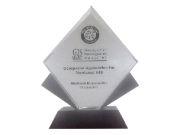
“Geospatial DEVELOPMENT Awards” in Geospatial Application for Municipal GIS from GIS DEVELOPMENT in the Middle East.
© 2020 DESIGN AND DEVOLPED BY KIAN
© 2020 all right reserved to GEOGRAPHIC TECHNOLOGIES TRADING


