Updating GIS Database for Madinah Municipality & Developing Municipal Services Applications in GIS (2nd phase project)

Updating GIS Database for Madinah Municipality & Developing Municipal Services Applications in GIS (2nd phase project)
The project includes a number of main tasks as follows:
Supplying new ortho-rectified satellite imagery to update the unified basemap of Madinah in the GIS system,
Digital transformation of all paper maps of all departments in the Municipality and geo-referencing them on the base map using GIS system,
which aims to achieve the following goals:
Digital transformation of data in all departments in the Municipality
Building updated geo-database for each department in the Municipality
Developed application for each department in the Municipality to record its daily transactions includes spatial functions for search and inquiries within the GIS system
LOCATION
AL MADINAH
TYPE
DATA INFRASTUCTURE
Year
2007
Project Status
Completed


GTT Partners
GEOGRAPHIC TECHNOLOGIES TRADING
This is what we’ve been working on

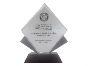
GTT prizes
GEOGRAPHIC TECHNOLOGIES TRADING
Geospatial DEVELOPMENT Awards
"Geospatial DEVELOPMENT Awards"
“Geospatial DEVELOPMENT Awards” in Geospatial Application for Municipal GIS from GIS DEVELOPMENT in the Middle East.
Phones
+966 55 304 8855
+966 50 995 1522
+966 55 099 9551
Email : info@gtt.com.sa
© 2020 DESIGN AND DEVOLPED BY KIAN
© 2020 all right reserved to GEOGRAPHIC TECHNOLOGIES TRADING